• Browse
  • Highlights
  • Routes
  • Blogs
SubmitiOS appGet the iOS app
  • Browse
  • Highlights
  • Routes
  • Blogs
SubmitiOS appGet the iOS app
HomeTravel RoutesHow Water Draws a Civilization

Architectural Heritage Route

How Water Draws a Civilization

Cisterns, aqueducts, dams, harbor works, pumps, wells, and water towers reveal the forms societies give to water. Storage, distribution, protection, power, and an entire basin modeled in miniature make a hidden civil infrastructure visible.

22 StopsTürkiyeMardin, TürkiyeChinaHenan, ChinaJiangxi, ChinaAnhui, China
Route Itinerary Map & Coordinates

22 geolocated stops

  1. 1Dara Ancient City Western Underground Water Cistern37.18° N, 40.95° E
  2. 2Kemerdere Aqueduct39.93° N, 26.36° E
  3. 3Duofeng Aqueduct, Red Flag Canal 2nd Limb36.13° N, 113.94° E
  4. 4Lushan Xingzi Town Liaohua Aqueduct29.40° N, 115.99° E
  5. 5Yuliang Dam29.86° N, 118.45° E
  6. 6Jinkou Dam of Yanzhou35.55° N, 116.85° E
  7. 7Yunnan Heijing Qing'an Dike25.38° N, 101.75° E
  8. 8Lushan Ziyang Embankment29.44° N, 116.04° E
  9. 9Flood Control Station on the River Embankment, Yongxiu County29.06° N, 115.92° E
  10. 10Site of the Grand Canal Governor's Office35.41° N, 116.58° E
  11. 11Former Site of Kunming Waterworks25.05° N, 102.70° E
  12. 12Former Site of Wuzhou Beishan Waterworks23.49° N, 111.33° E
  13. 13Shilongba Hydropower Station Museum24.85° N, 102.52° E
  14. 14Dongyuan Well Ancient Salt Field29.35° N, 104.69° E
  15. 15Shenyang Chiyoda Water Tower41.81° N, 123.49° E
  16. 16Ang'angxi Water Tower47.16° N, 123.82° E
  17. 17Two Water Towers of Lamadian Station46.71° N, 124.78° E
  18. 18Nianzishan Railway Station and Water Tower47.52° N, 122.88° E
  19. 19Water Tower of Metz49.11° N, 6.18° E
  20. 20Ypsilanti Water Tower42.25° N, 83.62° W
  21. 21Dixie Cup Water Tower38.08° N, 84.53° W
  22. 22Mississippi River Basin Model32.31° N, 90.32° W
Span: 23.49° N, 90.32° W → 49.11° N, 124.78° EJump to stops ↓

Stop Jump Index

22
  1. 01Dara Ancient City Western Underground Water Cistern
  2. 02Kemerdere Aqueduct
  3. 03Duofeng Aqueduct, Red Flag Canal 2nd Limb
  4. 04Lushan Xingzi Town Liaohua Aqueduct
  5. 05Yuliang Dam
  6. 06Jinkou Dam of Yanzhou
  7. 07Yunnan Heijing Qing'an Dike
  8. 08Lushan Ziyang Embankment
  9. 09Flood Control Station on the River Embankment, Yongxiu County
  10. 10Site of the Grand Canal Governor's Office
  11. 11Former Site of Kunming Waterworks
  12. 12Former Site of Wuzhou Beishan Waterworks
  13. 13Shilongba Hydropower Station Museum
  14. 14Dongyuan Well Ancient Salt Field
  15. 15Shenyang Chiyoda Water Tower
  16. 16Ang'angxi Water Tower
  17. 17Two Water Towers of Lamadian Station
  18. 18Nianzishan Railway Station and Water Tower
  19. 19Water Tower of Metz
  20. 20Ypsilanti Water Tower
  21. 21Dixie Cup Water Tower
  22. 22Mississippi River Basin Model

Curated Sequence

Ordered Heritage Stops (22)

All Cultural Routes →
  1. Dara Ancient City Western Underground Water Cistern 3D model – Mardin, Türkiye | FUNES.WORLDStop 01
    Stop 1 of 22·Mardin, Türkiye

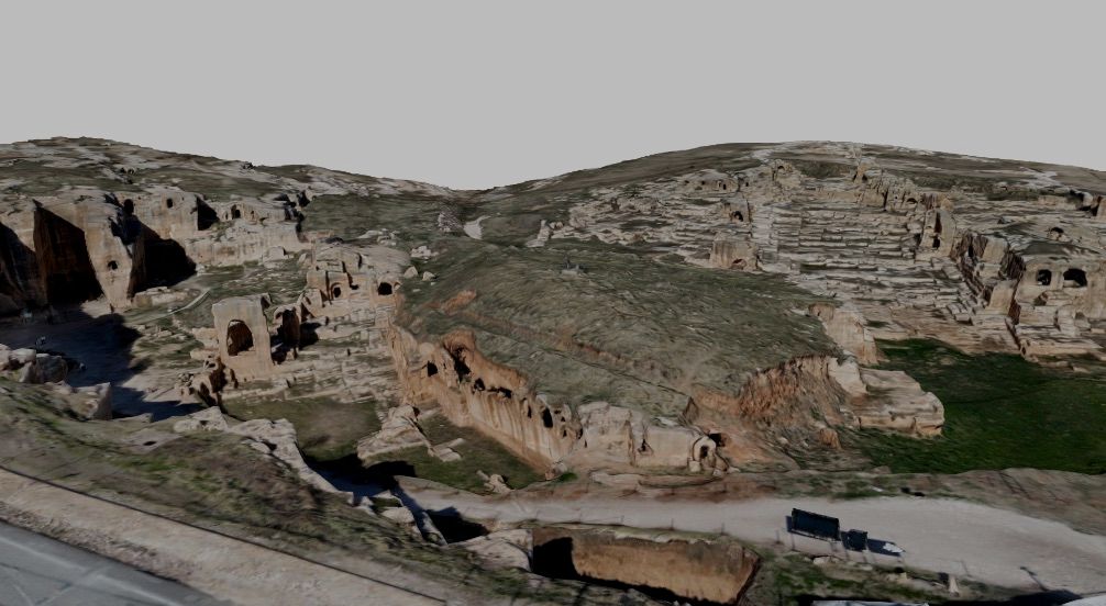
    Dara Ancient City Western Underground Water Cistern

    Dara's underground cistern stores water beneath a fortified city, revealing the concealed infrastructure through which storage supported habitation within a defended urban setting.
    Explore 3D ModelRegion: Mardin, Türkiye →
  2. Kemerdere Aqueduct 3D model – Türkiye | FUNES.WORLDStop 02
    Stop 2 of 22·Türkiye

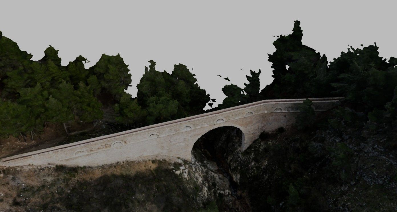
    Kemerdere Aqueduct

    Kemerdere's surviving arches carried water toward Roman Troy across a valley, showing how conveying water required a raised structure that bridged changes in the terrain.

    Explore 3D ModelRegion: Türkiye →
  3. Duofeng Aqueduct, Red Flag Canal 2nd Limb 3D model – Henan, China | FUNES.WORLDStop 03
    Stop 3 of 22·Henan, China

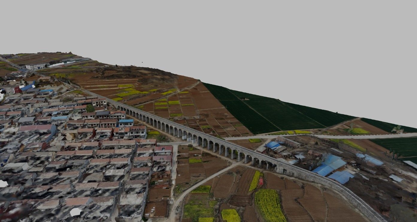
    Duofeng Aqueduct, Red Flag Canal 2nd Limb

    Duofeng carries a branch of the Red Flag Canal across uneven terrain, giving irrigation an elevated architectural form within a network that distributes water between settlements.

    Explore 3D ModelRegion: Henan, China →
  4. Lushan Xingzi Town Liaohua Aqueduct 3D model – Jiangxi, China | FUNES.WORLDStop 04
    Stop 4 of 22·Jiangxi, China

    Lushan Xingzi Town Liaohua Aqueduct

    Molded lettering and a campaign slogan mark the concrete aqueduct, recording how an elevated water channel also carried a public language of collective construction and transformation.

    Explore 3D ModelRegion: Jiangxi, China →
  5. Yuliang Dam 3D model – Anhui, China | FUNES.WORLDStop 05
    Stop 5 of 22·Anhui, China

    Yuliang Dam

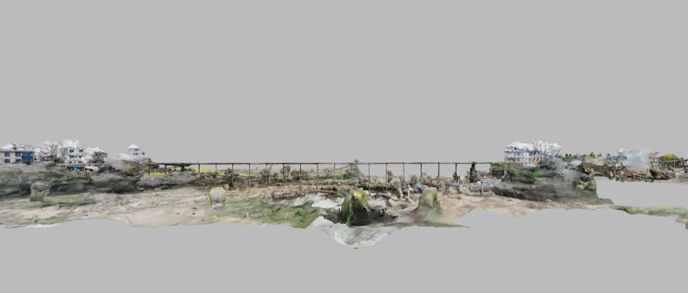
    Yuliang's interlocking stone weir raises upstream water levels for navigation, connecting hydraulic control with the river commerce that shaped Huizhou's settlements.

    Explore 3D ModelRegion: Anhui, China →
  6. Jinkou Dam of Yanzhou 3D model – Shandong, China | FUNES.WORLDStop 06
    Stop 6 of 22·Shandong, China

    Jinkou Dam of Yanzhou

    The stone weir diverts river water toward canal and irrigation systems, expanding the comparison from controlling navigation locally to distributing water across a connected territory.

    Explore 3D ModelRegion: Shandong, China →
  7. Yunnan Heijing Qing'an Dike 3D model – Yunnan, China | FUNES.WORLDStop 07
    Stop 7 of 22·Yunnan, China

    Yunnan Heijing Qing'an Dike

    Red sandstone blocks secured with iron form a protective dike beside Heijing's salt settlement, giving hydraulic defense a material relationship with the industry it shelters.

    Explore 3D ModelRegion: Yunnan, China →
  8. Lushan Ziyang Embankment 3D model – Jiangxi, China | FUNES.WORLDStop 08
    Stop 8 of 22·Jiangxi, China

    Lushan Ziyang Embankment

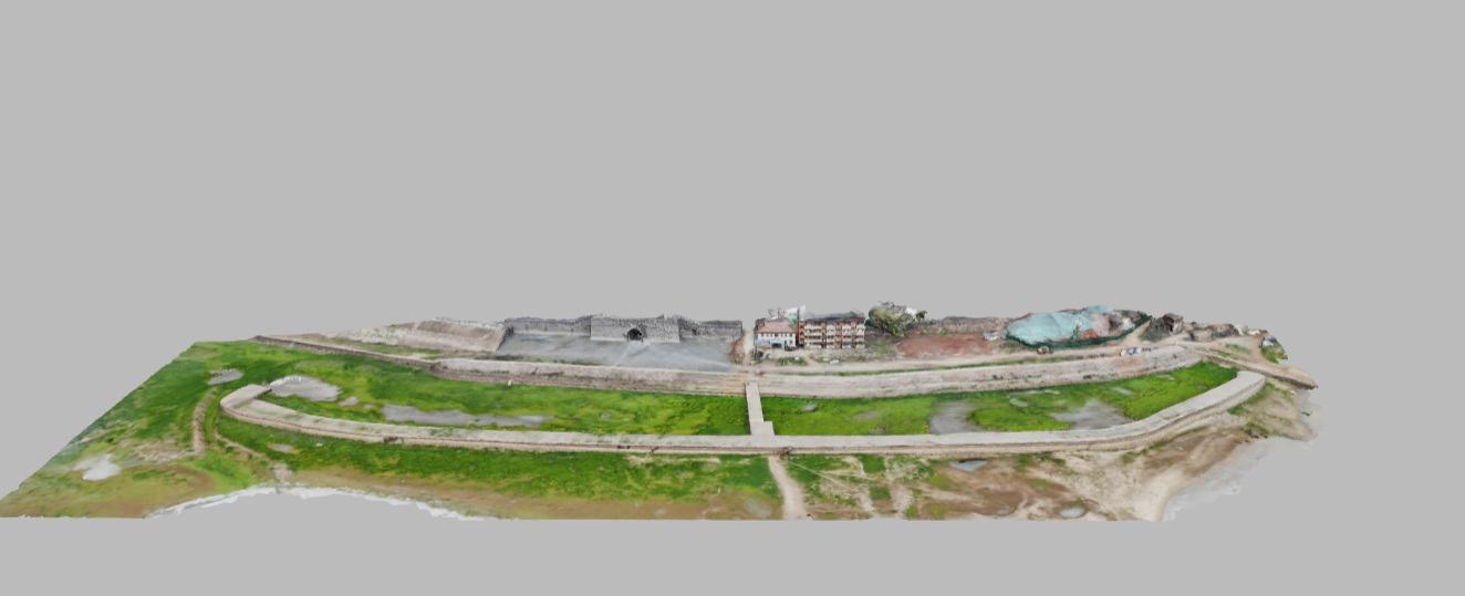
    A curved granite breakwater encloses sheltered harbor basins on Poyang Lake, revealing water control directed toward protecting vessels rather than storing or conveying drinking water.

    Explore 3D ModelRegion: Jiangxi, China →
  9. Flood Control Station on the River Embankment, Yongxiu County 3D model – Jiangxi, China | FUNES.WORLDStop 09
    Stop 9 of 22·Jiangxi, China

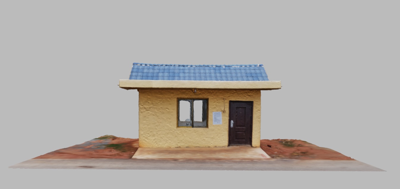
    Flood Control Station on the River Embankment, Yongxiu County

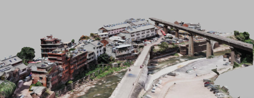
    Modest flood-control stations recur along river embankments, providing rooms for personnel and equipment and making the human work of watching water visible within the defensive network.

    Explore 3D ModelRegion: Jiangxi, China →
  10. Site of the Grand Canal Governor's Office 3D model – Shandong, China | FUNES.WORLDStop 10
    Stop 10 of 22·Shandong, China

    Site of the Grand Canal Governor's Office

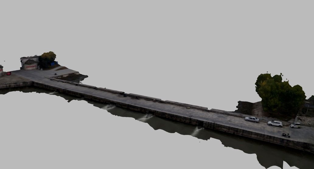
    Excavated foundations mark the office that administered the Grand Canal, revealing the institutional architecture once required to coordinate a waterway beyond its individual dams and channels.

    Explore 3D ModelRegion: Shandong, China →
  11. Former Site of Kunming Waterworks 3D model – Yunnan, China | FUNES.WORLDStop 11
    Stop 11 of 22·Yunnan, China

    Former Site of Kunming Waterworks

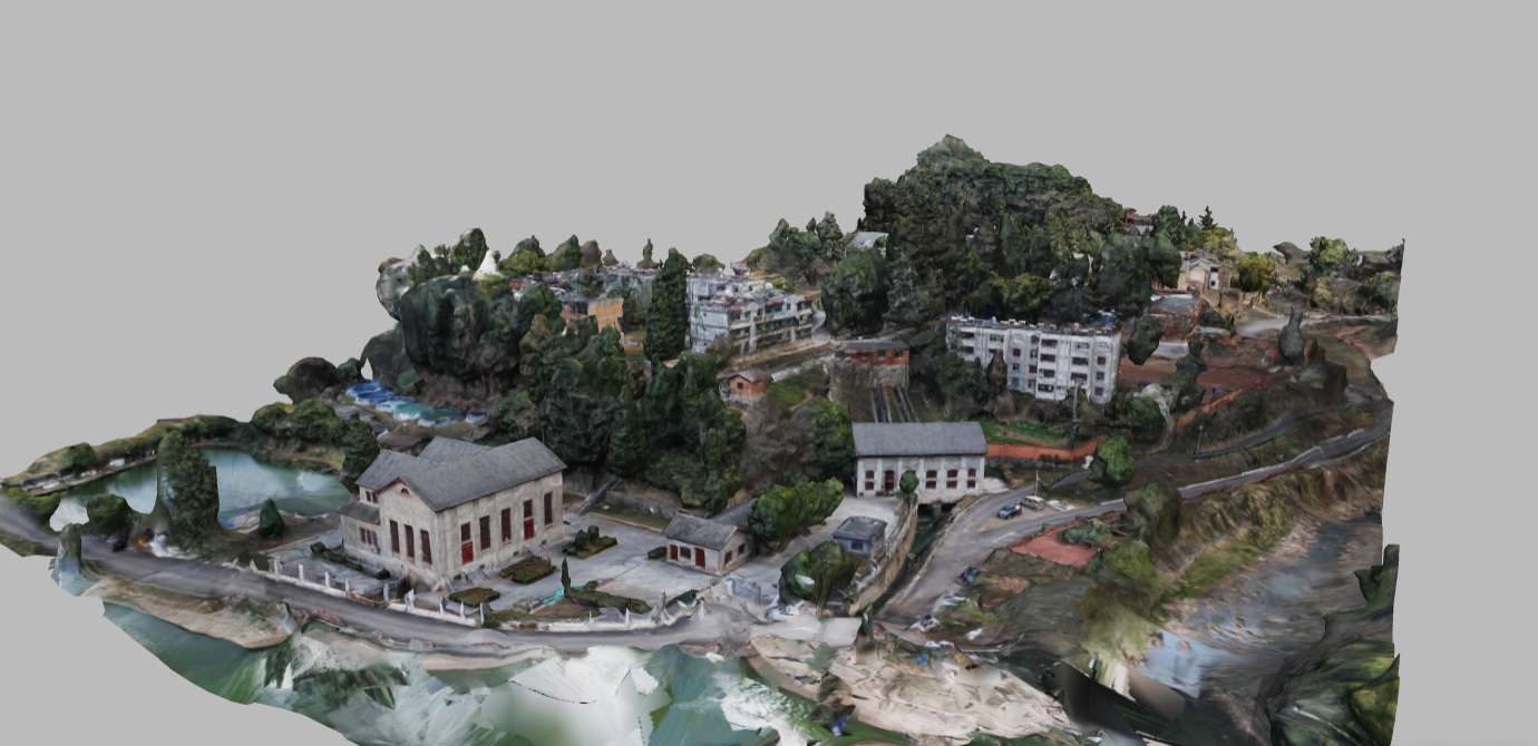
    The small pump house preserves motors and pumps that supplied Kunming from Green Lake's springs, connecting a designed waterscape with the machinery of municipal water distribution.

    Explore 3D ModelRegion: Yunnan, China →
  12. Former Site of Wuzhou Beishan Waterworks 3D model – Guangxi, China | FUNES.WORLDStop 12
    Stop 12 of 22·Guangxi, China

    Former Site of Wuzhou Beishan Waterworks

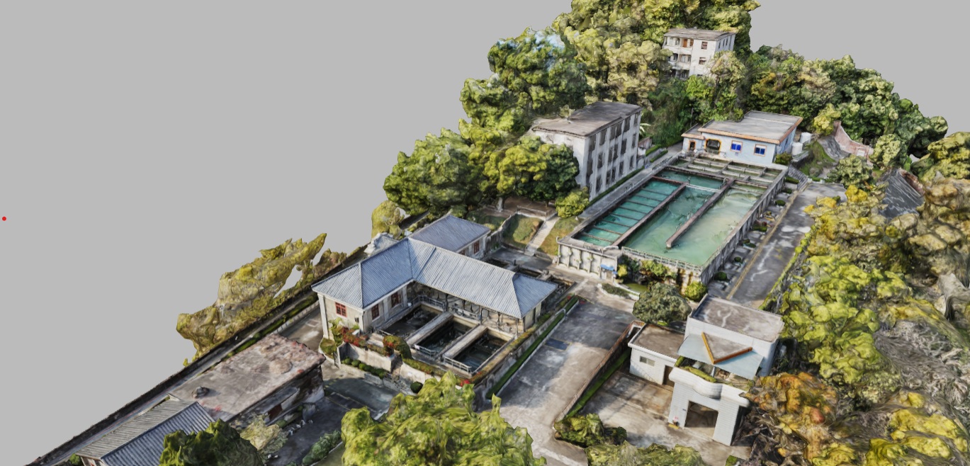
    The Western-style waterworks complex on Beishan Hill records Wuzhou's early municipal supply system, showing how industrial utility architecture became part of a growing city's public infrastructure.

    Explore 3D ModelRegion: Guangxi, China →
  13. Shilongba Hydropower Station Museum 3D model – Yunnan, China | FUNES.WORLDStop 13
    Stop 13 of 22·Yunnan, China

    Shilongba Hydropower Station Museum

    The stone workshop preserves hydroelectric machinery at Shilongba, introducing another purpose for controlled flow: converting river water into electricity rather than navigation, irrigation, or drinking supply.

    Explore 3D ModelRegion: Yunnan, China →
  14. Dongyuan Well Ancient Salt Field 3D model – Sichuan, China | FUNES.WORLDStop 14
    Stop 14 of 22·Sichuan, China

    Dongyuan Well Ancient Salt Field

    A wooden derrick and successive lifting machinery draw salt-bearing water from underground, expanding the hydraulic comparison to the extraction and processing of brine for regional industry.

    Explore 3D ModelRegion: Sichuan, China →
  15. Shenyang Chiyoda Water Tower 3D model – Liaoning, China | FUNES.WORLDStop 15
    Stop 15 of 22·Liaoning, China

    Shenyang Chiyoda Water Tower

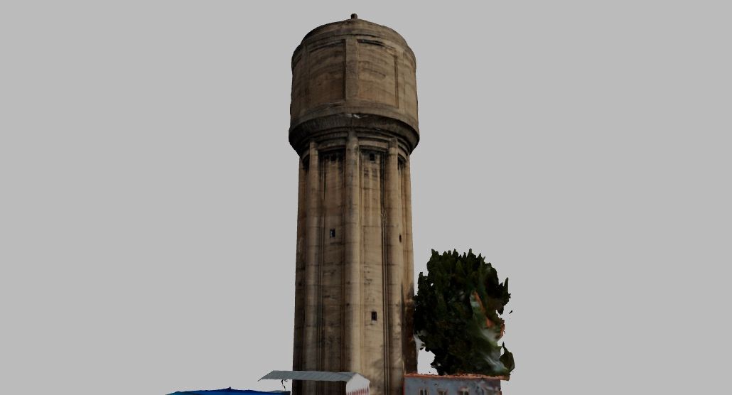
    The reinforced-concrete tower elevates urban water storage above a park, making pressure and supply visible through a vertical landmark instead of an underground chamber.

    Explore 3D ModelRegion: Liaoning, China →
  16. Ang'angxi Water Tower 3D model – Heilongjiang, China | FUNES.WORLDStop 16
    Stop 16 of 22·Heilongjiang, China

    Ang'angxi Water Tower

    The surviving brick cylinder has lost its upper tank, leaving a railway water-supply structure whose incomplete form reveals infrastructure made obsolete by changing locomotive and station systems.

    Explore 3D ModelRegion: Heilongjiang, China →
  17. Two Water Towers of Lamadian Station 3D model – Heilongjiang, China | FUNES.WORLDStop 17
    Stop 17 of 22·Heilongjiang, China

    Two Water Towers of Lamadian Station

    A standing tower and adjacent low ruins preserve successive railway water-supply structures at Lamadian, allowing changing infrastructure to be read through two different surviving physical states.

    Explore 3D ModelRegion: Heilongjiang, China →
  18. Nianzishan Railway Station and Water Tower 3D model – Heilongjiang, China | FUNES.WORLDStop 18
    Stop 18 of 22·Heilongjiang, China

    Nianzishan Railway Station and Water Tower

    A conical masonry water tower stands among historic station buildings at an active railway stop, preserving the supply infrastructure once required by steam locomotives in a cold climate.

    Explore 3D ModelRegion: Heilongjiang, China →
  19. Water Tower of Metz 3D model – France | FUNES.WORLDStop 19
    Stop 19 of 22·France

    Water Tower of Metz

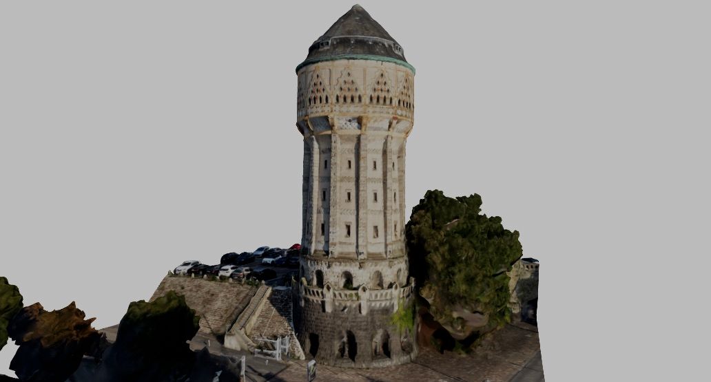
    An elevated railway reservoir takes the form of a monumental sandstone tower, showing how the practical water needs of steam transport acquired an imposing urban profile.

    Explore 3D ModelRegion: France →
  20. Ypsilanti Water Tower 3D model – Michigan, United States | FUNES.WORLDStop 20
    Stop 20 of 22·Michigan, United States

    Ypsilanti Water Tower

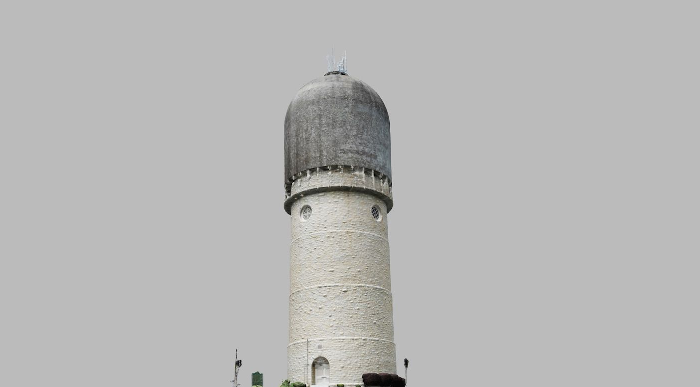
    The municipal tower's masonry shaft and domed reservoir place urban water supply above the street, giving a largely hidden distribution system a conspicuous civic form.

    Explore 3D ModelRegion: Michigan, United States →
  21. Dixie Cup Water Tower 3D model – Kentucky, United States | FUNES.WORLDStop 21
    Stop 21 of 22·Kentucky, United States

    Dixie Cup Water Tower

    The factory's elevated tank resembles its own paper cup product, showing industrial water storage becoming a recognizable advertisement as well as a practical utility structure.

    Explore 3D ModelRegion: Kentucky, United States →
  22. Mississippi River Basin Model 3D model – Mississippi, United States | FUNES.WORLDStop 22
    Stop 22 of 22·Mississippi, United States

    Mississippi River Basin Model

    The Mississippi basin model miniaturizes waterways to study floods, translating the effort to regulate water into controlled experiments at the scale of a watershed.

    Explore 3D ModelRegion: Mississippi, United States →

Related Cultural Routes

All Cultural Routes →

41 Stops

Machines Left Open

Furnaces, mines, mills, breweries, shipyards, utilities, and manufacturing workshops expose the forms behind finished products. Working machinery, abandoned structures, surviving fragments, and reused plants reveal industry as architecture, labor, energy, and material transformation.

View Route & Map →

23 Stops

The Railway Made a Town

Stations, staff homes, clubs, training rooms, heating infrastructure, a hospital, diplomatic buildings, and religious spaces reveal railways as makers of settlements. Ang’angxi, the wider Qiqihar railway towns, and Suifenhe preserve domestic hierarchies and civic institutions alongside tracks.

View Route & Map →

15 Stops

American Roadside Surrealism

A roadside collection of mimetic buildings, oversized advertisements, vernacular cosmologies, and deliberately eccentric landmarks.

View Route & Map →
FUNES.WORLD

Recording monuments, sculptures, and architectural heritage in 3D and 3D Gaussian Splatting — a digital memory of our shared physical world.

Download iOS App
X @funesworld·GitHub

Explore & Archive

  • Browse Archive
  • FUNES 100 Highlights
  • 38 Cultural Routes
  • Regions Directory

3D Gaussian Splatting

  • All Scenes
  • Pompeii
  • Xiaoxitian Hanging Sculptures
  • Ani Ruins
  • Van Castle

Research & Data

  • Open Datasets
  • Open 3D Architecture Dataset
  • 3D Gaussian Splatting Collection
  • Bhutan Heritage Database
  • Editorial Blogs

© 2026 FUNES.WORLD. Public research datasets & curated metadata licensed under CC BY-NC 4.0.

SitemapRobotsllms.txtllms-full.txt